Mt. Rishiri (Rishiri Island)
In Japanese: 利尻山(利尻富士)
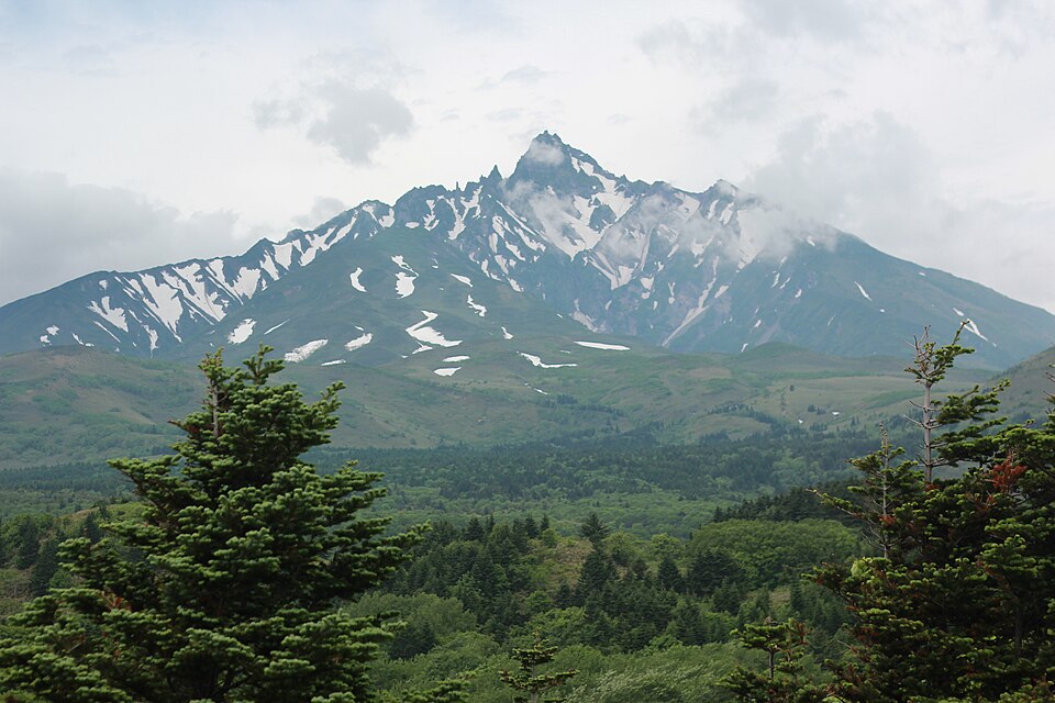
A 1,721 m solitary peak rising from an island off Japan's northern tip, nicknamed 'Rishiri Fuji'. One of Japan's 100 Famous Mountains, it is climbed from near sea level, with a 360° panorama from the top.
Rishiri-Rebun-Sarobetsu National Park
Nearby
- Himenuma Pond (Rishiri Island) ≈ 20 min by car
- Momoiwa Viewpoint (Rebun Island) ≈ 50 min by car
- Cape Sukai (Rebun Island) ≈ 1 h 15 min by car
- Sarobetsu Mire (Sarobetsu Wetland Center) ≈ 1 h 20 min by car
Travel times are rough estimates by car.
- Getting there
- Heartland Ferry from Wakkanai to Oshidomari, about 1 h 40 min. The Oshidomari trailhead (Hokuroku campsite) is about 5 km from town; almost all lodgings offer transfers
Easier with a tour or car - Good to know
- The Oshidomari route takes about 6 h up and 4 h down — allow 11 h even in good weather. You must carry a portable toilet (sold on the island for ¥400)
- Time needed
- 3 h
Checked against the official Japanese website on 2026-10-15. Report outdated info