Onitakura Cliff
In Japanese: 大丹倉
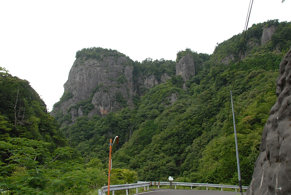
A reddish rock wall about 300 m high and 500 m wide deep in the Kumano mountains, long a training ground for mountain ascetics. It can be seen from below, and a forest road leads close to the top.
Mie Prefecture designated cultural property
Nearby
- Maruyama Senmaida Rice Terraces ≈ 20 min by car
- Hana-no-Iwaya Shrine ≈ 30 min by car
- Shichirimihama Beach ≈ 30 min by car
- Onigajo Rocks ≈ 30 min by car
- Dorokyo Gorge (Doro Hatcho) ≈ 30 min by car
Travel times are rough estimates by car.
- Getting there
- About 40–50 min by car from JR Kumanoshi Sta. (no public transport)
Easier with a tour or car - Good to know
- Parking for about 10 cars; no toilets
- Time needed
- 45 min
Checked against the official Japanese website on 2026-10-15. Report outdated info