Nirai-Kanai Bridge
In Japanese: ニライ橋・カナイ橋
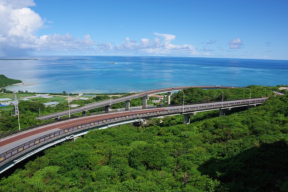
A 660 m long, 80 m high bridge road that curves broadly as it descends toward the sea, with views of the Pacific, Chinen Cape and Kudaka Island.
Nearby
- Chinen Castle Ruins ≈ 10 min by car
- Sefa Utaki ≈ 15 min by car
- Kakinohana Hija Spring ≈ 15 min by car
- Shikinaen Garden ≈ 30 min by car
- Shuri Castle ≈ 30 min by car
Travel times are rough estimates by car.
- Getting there
- About 50 min by car from Naha Airport
Easier with a tour or car - Good to know
- A road to be enjoyed from the car window: no stopping or parking on the bridge or road, and no car park. The viewing platform is set apart from the road
- Time needed
- 30 min
Checked against the official Japanese website on 2026-10-15. Report outdated info