Mt. Kongo (Chihaya-enchi)
In Japanese: 金剛山(ちはや園地)
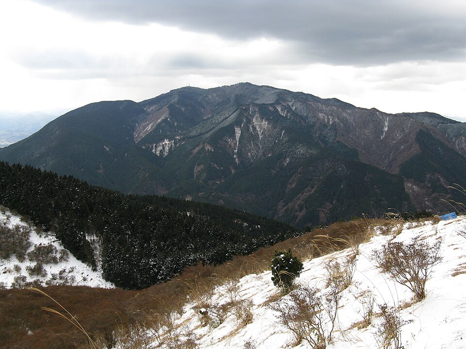
The 1,125 m mountain on the Osaka-Nara border. The prefectural Chihaya-enchi park near the top is the highest point in Osaka, with views, fresh green in spring, autumn leaves and rime ice in winter.
Kongo-Ikoma-Kisen Quasi-National Park
Nearby
- Gojo Shinmachi Street ≈ 25 min by car
- Taimadera Temple ≈ 30 min by car
- Imaicho ≈ 35 min by car
- Kanshinji Temple ≈ 40 min by car
- Asuka Palace Site (traditionally Itabuki-no-miya) ≈ 40 min by car
Travel times are rough estimates by car.
- Getting there
- Nankai Bus from Kawachinagano Sta. to the terminus, then about 70 min on a hiking trail (the Kongo Ropeway is not running)
- Good to know
- Kongo Ropeway suspended. Park facilities closed Dec 29-Jan 4 (park itself open); snow and icy roads in winter
- Time needed
- 3 h
Checked against the official Japanese website on 2026-10-15. Report outdated info