Hahajima (Mt. Chibusa)
In Japanese: 母島(乳房山)
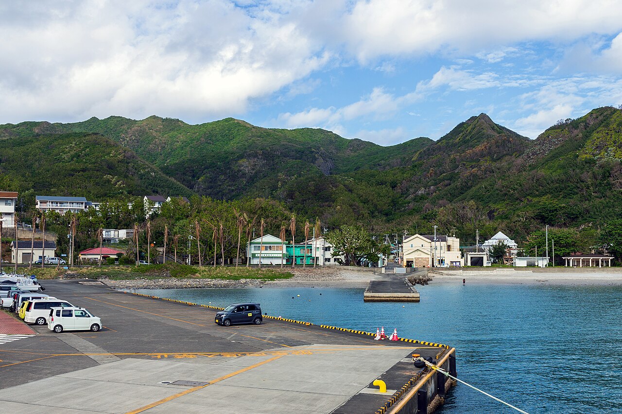
Mt. Chibusa, about 463 m, on Hahajima, an island about 2 hours by boat from Chichijima. The trail makes a loop, and you may see the Bonin honeyeater (meguro), a bird found only on Hahajima.
Ogasawara National Park; one of Japan's 100 Island Mountains
- Getting there
- Ogasawara-maru from Takeshiba Pier to Chichijima (about 24 h), then Hahajima-maru to Hahajima (about 2 h). From the port, about 10 min on foot to the trailhead; the loop takes about 4 h (about 6 km)
- Good to know
- Ask the Hahajima Tourism Association (8:00-17:00, closed 11:30-13:00) before climbing for the optional summit certificate (300 yen). Hahajima-maru runs about 4-5 times a week, sometimes one way only. The temporary section near the summit closes after a seismic intensity 3 (shindo 3) or stronger quake
- Time needed
- 3 h
Checked against the official Japanese website on 2026-10-15. Report outdated info