Taushubetsu River Bridge
Open by month
Open in January — at its best.
Open in February — at its best.
Open in March — at its best.
Open in April — at its best.
Partly closed in May: The bridge emerges from about January, is fully visible before Golden Week, and starts to sink from about May until it is underwater in summer (Kamishihoro town).
Open in June. No seasonal closure recorded.
Open in July. No seasonal closure recorded.
Open in August. No seasonal closure recorded.
Open in September. No seasonal closure recorded.
Open in October. No seasonal closure recorded.
Open in November. No seasonal closure recorded.
Open in December. No seasonal closure recorded.
Checked against the official site on 2026-10-19.
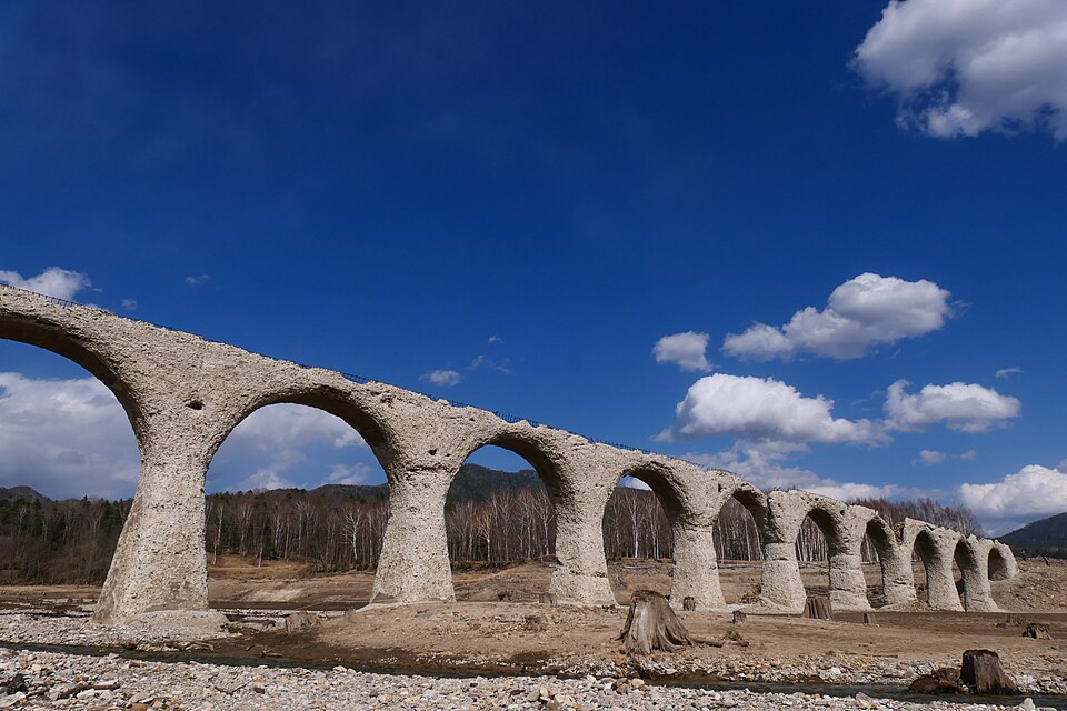
A 130 m concrete arch bridge on the former JNR Shihoro Line, completed in 1937. It appears from Lake Nukabira around January as the water drops, starts to sink from about May and lies under the lake by summer.
Hokkaido Heritage (Shihoro Line concrete arch bridges)
Nearby
- Lake Shikaribetsu ≈ 40 min by car
- Sounkyo Onsen ≈ 1 h 25 min by car
- Tenninkyo Gorge ≈ 1 h 30 min by car
Travel times are rough estimates by car.
- Best time
- January, February, March, April
- Closed or limited
- The bridge emerges from about January, is fully visible before Golden Week, and starts to sink from about May until it is underwater in summer (Kamishihoro town).
- Getting there
- 8 km by car from Nukabira Onsen toward Sounkyo, then a 200 m walk from the lay-by on the national road to the Taushubetsu viewpoint, which looks across about 700 m of water to the bridge
Easier with a tour or car - Good to know
- To get close to the bridge, join a tour by the Higashi-Taisetsu Nature Guide Center (in winter, a 4 km round trip on snowshoes across the frozen lake). The viewpoint lay-by holds about 5 cars
- Time needed
- 45 min
Checked against the official Japanese website on 2026-10-19. Report outdated info