Tategasaki Cliffs
In Japanese: 楯ヶ崎
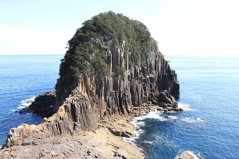
A huge wall of columnar-jointed rock at the mouth of Futagishima Bay, about 80 m high and 550 m around. A forest trail leads to the Senjojiki rock shelf, which faces the cliff and the waves of the Kumano Sea.
Yoshino-Kumano National Park (special protection zone); Mie Prefecture Place of Scenic Beauty and Natural Monument
Nearby
- Onigajo Rocks ≈ 30 min by car
- Shichirimihama Beach ≈ 30 min by car
- Hana-no-Iwaya Shrine ≈ 35 min by car
- Magose Pass (Kumano Kodo Iseji) ≈ 45 min by car
- Onitakura Cliff ≈ 50 min by car
Travel times are rough estimates by car.
- Getting there
- About 30 min by car from JR Kumanoshi Sta. to the car park on Route 311, then about 2 km (40 min) on foot; or about 60 min walk from JR Futagishima Sta.
Easier with a tour or car - Good to know
- Car park for about 5 cars, no toilets on site. Sightseeing boats to view the cliff from the sea need booking (2 or more people, 10:00 and 12:00, no service Dec 30–Jan 3)
- Time needed
- 2 h
Checked against the official Japanese website on 2026-10-15. Report outdated info