Kuju Mountains and Chojabaru
Open by month
Open in January. No seasonal closure recorded. New Year (Dec 29 – Jan 3): open.
Open in February. No seasonal closure recorded.
Open in March. No seasonal closure recorded.
Open in April. No seasonal closure recorded.
Open in May. No seasonal closure recorded.
Open in June — at its best. Pink Miyama-kirishima azaleas covering the slopes.
Open in July. No seasonal closure recorded.
Open in August. No seasonal closure recorded.
Open in September. No seasonal closure recorded.
Open in October. No seasonal closure recorded.
Open in November. No seasonal closure recorded.
Open in December. No seasonal closure recorded. New Year (Dec 29 – Jan 3): open.
Checked against the official site on 2026-10-12.
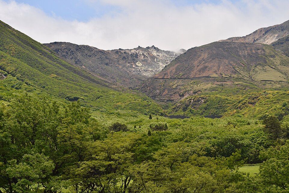
The 'roof of Kyushu', with Mt Nakadake (1,791 m), the highest peak on Kyushu's main island; Chojabaru is the main trailhead with a visitor centre and a wetland boardwalk.
Aso-Kuju National Park; Ramsar wetland (Tadewara)
Nearby
- Makinoto Pass ≈ 15 min by car
- Kokonoe Yume Otsurihashi Suspension Bridge ≈ 20 min by car
- Kurokawa Onsen ≈ 30 min by car
- Nagayu Onsen ≈ 40 min by car
- Nabegataki Falls ≈ 45 min by car
Travel times are rough estimates by car.
- Best time
- June — Pink Miyama-kirishima azaleas covering the slopes
- Getting there
- Bus from JR Bungo-Nakamura Station to Chojabaru, about 50 min
- Fee
- Free (visitor centre free)
- Good to know
- Mountain trails need proper gear; weather changes fast
- Time needed
- 2 h
Checked against the official Japanese website on 2026-10-12. Report outdated info