Makinoto Pass
Open by month
Partly closed in January: some days or parts are closed — see the official site.
Partly closed in February: some days or parts are closed — see the official site.
Open in March. No seasonal closure recorded.
Open in April. No seasonal closure recorded.
Open in May. No seasonal closure recorded.
Open in June. No seasonal closure recorded.
Open in July. No seasonal closure recorded.
Open in August. No seasonal closure recorded.
Open in September. No seasonal closure recorded.
Open in October. No seasonal closure recorded.
Open in November. No seasonal closure recorded.
Partly closed in December: some days or parts are closed — see the official site.
Checked against the official site on 2026-10-15.
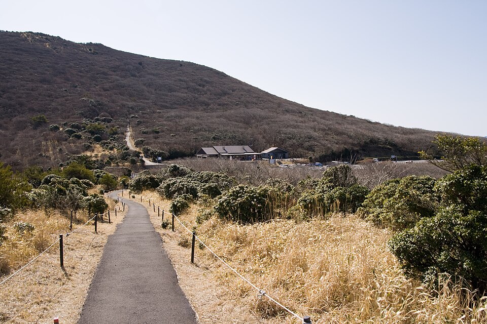
The highest point on the Yamanami Highway at 1,330 m and a trailhead for the Kuju Mountains. The viewpoint looks over Chojabaru.
Aso-Kuju National Park (Kuju Mountains)
Nearby
- Kuju Mountains and Chojabaru ≈ 15 min by car
- Kurokawa Onsen ≈ 25 min by car
- Kokonoe Yume Otsurihashi Suspension Bridge ≈ 25 min by car
- Nagayu Onsen ≈ 40 min by car
- Nabegataki Falls ≈ 45 min by car
Travel times are rough estimates by car.
- Getting there
- About 50 min by Kokonoe Town community bus (Kokonoe Judan line) from JR Bungo-Nakamura Station (weekday 10:03 departure etc.; a few buses a day; not running Dec–end of Feb)
Few buses — check times or join a tour - Good to know
- Car parks near the trailhead get crowded in the Miyama-Kirishima and autumn-leaf seasons. The community bus does not serve the pass from December to the end of February.
- Time needed
- 1 h
Checked against the official Japanese website on 2026-10-15. Report outdated info